
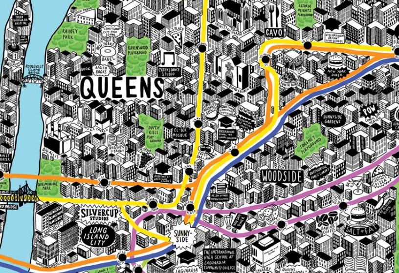
Maps has always and will play a crucially role in helping us tell where we are going. Without any types of maps we would be lost. The first map I saw from what I remember was a map of Jamaica. In class we are taught how to read the map and to be able to identify countries within the map. We are also taught how to draw the map. When I came to America I was taught the same thing however, remembering United States map is hard because of how big the nation is and how many countries are on the map. There is not a lot of benefits when it comes to paper maps especially, when you are used to digital maps which tells you where you are going. The only benefits of a paper map it’s more durable meaning it won’t run out of power and more portable it’s easier and lighter to transport.
Paper maps represent the world in a visual way by giving us an idea about the world by showing sizes and shape of countries, location of features and distance between places. I feel that maps can be bias because there is no such thing as a perfect map. Maps where created by mankind, therefore all maps distort reality and convey bias whether deliberately or not. What people did before maps existed was they created some sort of image just to remember where they went and were they were going. They were able to identify places through drawings that has been passed down from generations. But, before maps existed people were lost more than usual.
Maps helps shape our notion of space and distance through a map scale which indicates the relationship between the distance on the map and the actual distances on Earth.
In the Digital Harlem maps this map can add to our understanding of this particular historical period by giving us an idea how blacks were segregated into Harlem from 1915 to 1930. The maps also indicated were was at risk for getting fire, which was, was the black person lived. The map also indicates were then number of churches, sports, nightlife and the number arrested. The website where the map is gives us a brief history of the event that takes place in Harlem. In the book Graphs Maps Trees by Franco Moretti, he closely argues that, “The quantitative approach to literature can take several different forms-from computational stylistics to thematic databases, book history and more.” He means that we can describe any events in any forms as long is makes sense and it has enough arguments or evidence to back up its claims. The graph of Harlem was the right way to present these arguments because the visual representation was easy to understand. Plus it gives us an understanding of what people are looking at by giving us a written historical data of what the map is representing. Also, the maps summarizes what is happening in Harlem which, gives people a quick synopses.
Sadad Mohammad
Hey Pritannia,
Pretty awesome how we can determine a history of Harlem through maps right? It’s something I also found interesting in my blog. A thought that came to my head though is that maps might not always be accurate? Someone might look at one area a certain way as opposed to someone else. Like maps that divide politics. Who makes the map and do they have an agenda? I don’t know why, but after looking at digital Harlem again that’s what came in my head!
Prittania Shaw
I totally agree with you Mohammad, maps are not accurate I feel that whomever had made the map of Harlem was biased. They focused on African American in Harlem, I am sure there was other ethnicity that lived in Harlem.
Brandon Sookhoo
Pritannia
It’s interesting how you mentioned images before the creation of maps. It kind of makes me think of Dora the explorer when she had that map with her to figure out where she was going or what destination was right. She used images to figure it out (If I remember correctly)
I always wonder though will paper maps ever become obsolete because of our technology rapidly growing everyday. Their are so many softwares and programs being utilized .
Prittania Shaw
I think that maps will not become absolute because, there is a lot people who rely on paper maps because they feel its more accurate or they like the feel of the paper in their hand.
Andie Silva (she/her)
As you say, “Maps helps shape our notion of space and distance”–which means that before maps people generally did not have a notion of the world outside of their own immediate space. This is especially meaningful when we think of notions of the “New World” and colonialism. These places were only “discovered” from the perspective of the British (and Luso-Hispanic) Empire, because they never imagined those places existed in the first place… It’s worth thinking about this in relation to Digital Harlem, and the ways in which (as Sadad mentioned) gentrification plays a role in warping places and spaces.